Best Subway & Bus Apps in Korea for Foreigners 2026
For most foreign visitors, start with NAVER Map for door-to-door navigation and keep Seoul Subway as a useful backup in Seoul. Kakao’s map and transit apps are also widely used, but you do not need to install every Korean transport app before your trip.
Last verified: October 11, 2026 · Official sources checked for this update. Service details, eligibility and app interfaces may change.
1. NAVER Map — best all-around choice
NAVER Map combines walking, subway, bus and place search. It is especially useful when an English place name does not match the local listing: try copying the Korean name from the venue’s official page. Our NAVER Map guide explains language settings and search tips in detail.
2. Seoul Subway — useful official Seoul option
Seoul Metropolitan Government says its Seoul Subway app provides route information, location-based recommendations, station directions, nearby attractions and passenger-density information. This makes it a useful specialist app if most of your trip is in the capital.
3. KakaoMap / Kakao transit tools
Kakao’s mapping ecosystem is another strong local option. It can be useful as a second opinion for place names or bus routing. App availability and English coverage can vary by feature, so travelers who want the simplest setup may prefer NAVER Map plus one backup app.
Which app for which job?
| Task | Recommended starting point |
|---|---|
| Hotel to attraction | NAVER Map |
| Subway-only route in Seoul | Seoul Subway or NAVER Map |
| Bus stop and transfer planning | NAVER Map / Kakao local tools |
| Finding an exact Korean business | NAVER Map using Korean name |
| Checking station exits | NAVER Map + station signage |
How to avoid the most common tourist mistake
Do not search only by an approximate English nickname. Korean listings can have multiple branches with similar names. Copy the exact Korean name or street address from the official website, then confirm the district and nearest station exit.
Do you need mobile data?
Offline screenshots help, but live bus arrivals, route changes and walking directions are much easier with data. A travel eSIM, SIM or pocket Wi-Fi is therefore one of the most useful transport purchases. See our Korea eSIM vs SIM vs Pocket WiFi guide.
Basic subway use
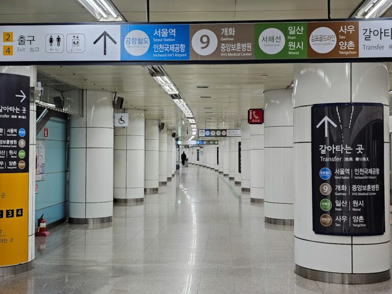
Seoul says subway signs include Korean and English and single-use ticket machines offer foreign-language settings. A transportation card is more convenient for repeated rides and transfers.
FAQ
Is Google Maps useless in Korea?
No. It can be useful, but Korean local mapping apps often provide richer domestic place and transit data. Use whichever gives the clearest route, and verify important destinations.
Which single app should I install?
NAVER Map is the best single starting point for most independent travelers.
Can I search in English?
Often yes, but Korean names improve results for small restaurants, cafes and local facilities.
Plan a bus or subway journey step by step
- Choose your app language before leaving the hotel. In NAVER Map, open the profile/MY area, then Settings and Language; on iOS the choice may open the device’s language settings.
- Search the exact venue or address and check the branch and district.
- Select public transport and compare the walking sections as well as the vehicle time.
- Record the boarding stop, direction, transfer point and destination exit. Check platform or bus-stop signs against the route.
- Recheck the route before a late return; an earlier screenshot cannot show a disruption or the last available service.
This comparison covers navigation, not a guarantee of live arrival accuracy. Keep the destination’s Korean name and an offline screenshot of your hotel location. If an app and the station’s current operating notice disagree, ask station staff.
Official and primary sources
Korea Practical Guide is an independent information website and is not affiliated with the organizations or apps mentioned above.